If you’ve ever visited the Grand Canyon in the southwestern U.S. you know why it has the name it does—the vistas from the rim of this geological wonder are simply breathtaking, and it’s even more amazing to realize that it was all carved over the course of millions of years through the erosive action of the Colorado River. But there’s an even grander canyon system in our Solar System, and it’s not on Earth: it’s Mars’ Valles Marineris, which spans over 2,500 miles and is four times deeper than the Grand Canyon in Arizona—in fact, if Valles Marineris were on Earth it could stretch clear across the continental United States!
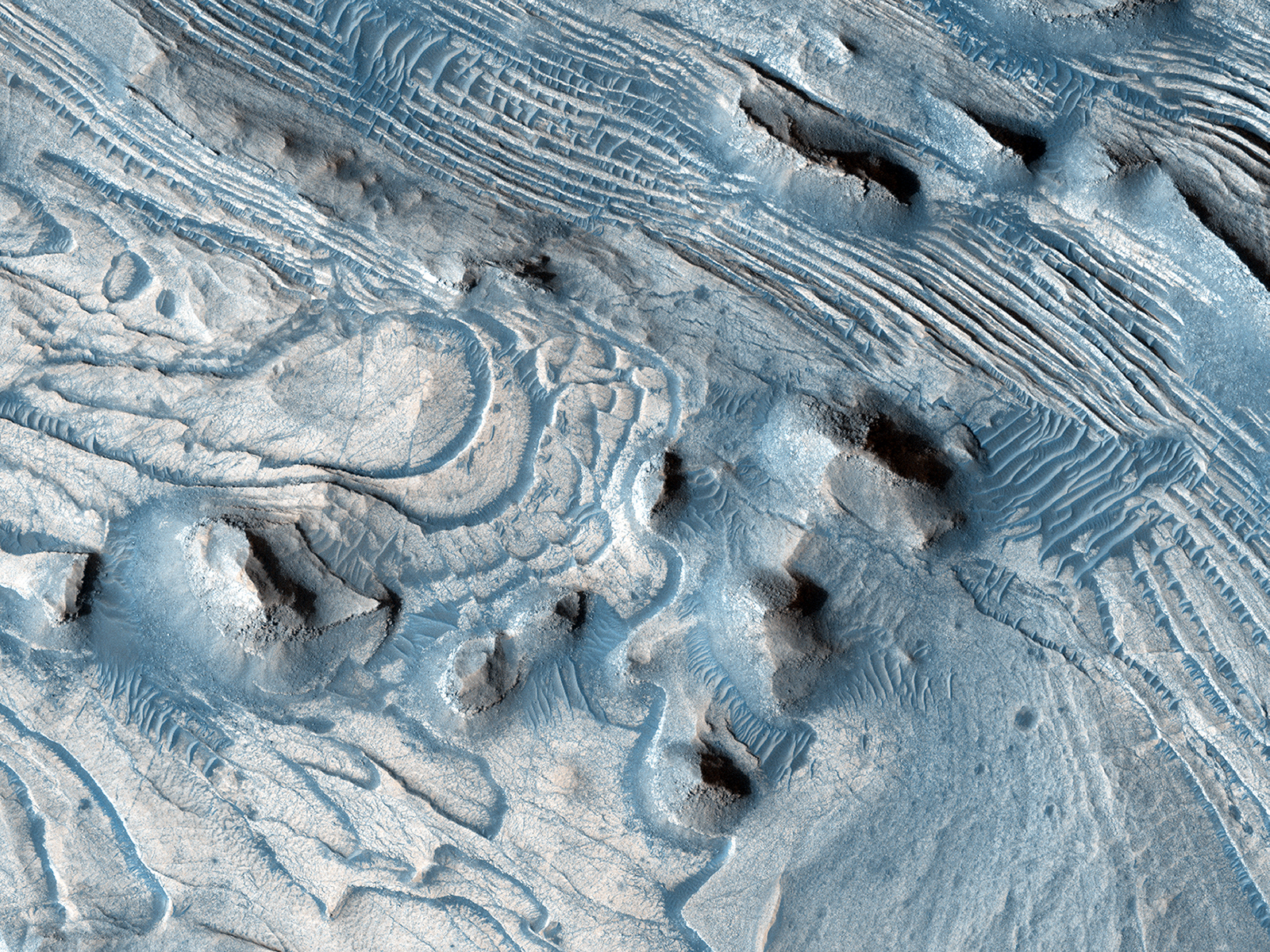
It’s thought that Mars’ canyon was created as the planet cooled, its crust contracting and splitting apart (as opposed to gradual excavation by a flowing river.) But there are sections of Valles Marineris that appear to have had a watery past, and new maps made by the USGS from data acquired by the HiRISE camera aboard NASA’s Mars Reconnaissance Orbiter—which has been in orbit around Mars since March 2006—reveal regions that were once likely covered by liquid water.
“The major finding of this work is that the layers of rock exposed within what is called western Candor Chasma record a past environment where groundwater was abundant and occasionally seeped onto the ground surface, forming pools,” said USGS scientist Dr. Chris Okubo, lead author of the maps. “These pools would have been habitable for life, just as they are on Earth. Dust and sand blown into these pools may have buried and preserved evidence of past Martian life, which would be present as fossils within the rocks that we see today.”
